
Lower Macungie Township Neighbor Sources
Different Lower Macungie Township neighbor records answer different block questions. The parcel map identifies tax parcels around an address. The property card identifies the recorded owner and a separate mailing address. Deed records provide dated party information. The township Resource Directory supplies published contacts for civic groups, not their membership. Use the source that fits the question, and do not turn an ownership or organization record into a claim about every person who lives nearby.
| Block source | What it can show around an address | Access |
|---|---|---|
| County Parcel Viewer | Parcel footprints, PIN and situs fields, spatially adjacent parcels | Public map viewer |
| Property Search | Recorded owner, mailing and property address, sale references | Public address, PIN, or document-ID search |
| Recorder index | Dated grantor and grantee details for a parcel | LANDEX, county access, or Recorder counter |
| Township Resource Directory | Published contacts for local organizations | Public category and name search |
| Historical sources | Older family, address, cemetery, newspaper, or tax clues | Library, historical society, and archives |
The owner’s mailing address may match the parcel or may be somewhere else. That difference is a routing clue in the county record, not proof about who your Lower Macungie Township neighbors are.
Lower Macungie Township Parcel Buffer
The Lehigh County Parcel Viewer is designed to locate parcels, not to publish a block resident list. It displays parcel geography and uses PIN and situs information. Its Buffer Report accepts an address or PIN and begins with a 100-foot buffer. That makes it useful for finding parcels that may sit close to a Lower Macungie Township address before each property record is reviewed individually.
Start with an exact address, select the central parcel, create the buffer only if it helps identify nearby parcel candidates, and then verify each candidate’s PIN in Property Search. Rights-of-way, common land, oddly shaped lots, and map scale can make visual proximity misleading. A mapped buffer is never evidence of a personal relationship or common household.
Note: Keep a short list of parcel IDs and check the details one parcel at a time before relying on a map result.
Map a Lower Macungie Township Block
Use this process when the question is limited to Lower Macungie Township neighbors near one location. It stays focused on parcel evidence, rather than trying to recreate an informal block roster. The property-card route is strongest for a current recorded owner. For an extended named-street history, use the Lower Macungie Township street directory after the smaller block search is complete.
- Find the exact address in Property Search and record the PIN, property address, owner mailing address, and sale document ID.
- Open the matching parcel in the County Parcel Viewer and select the parcels immediately around it.
- Run each adjacent PIN or address through Property Search and keep each result separate.
- Use the individual sale document ID only when a recorded deed question remains, then match legal descriptions before linking records.
- For a full street sequence, switch to the Lower Macungie Township street directory method rather than expanding a small radius indefinitely.
Homestead Act 72 status, where it appears on a property card, is a tax-relief administrative field. It does not identify all residents or establish the current status of a household.
Lower Macungie Township Community Contacts
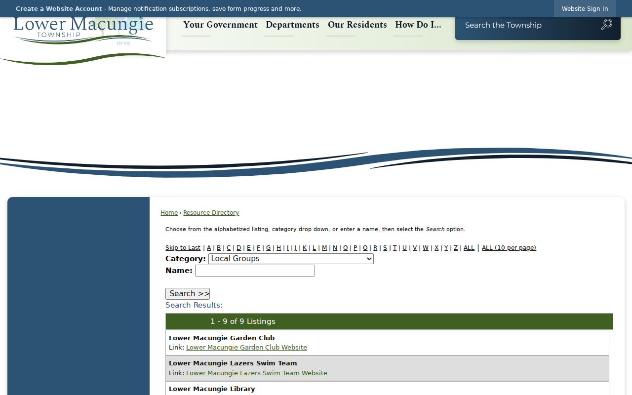
The township’s Resource Directory is the verified community layer for Lower Macungie Township neighbors. Its search has first-letter filters, a Category selector, a Name field, and Search. The returned civic category includes published contacts for the Lower Macungie Garden Club, Lower Macungie Library, Lower Macungie Senior Citizens, Lower Macungie Township Historical Society, Lower Macungie Walkways Committee, Lower Macungie Youth Association, MOMS Club, and Wildlands Conservancy. These are organization contacts, not private member lists.
The Township Resource Directory shows the public category and name-search controls for Lower Macungie Township community resources.
Use a published contact to learn about a civic program, historical resource, or public activity. Do not assume that the organization confirms private membership or a resident’s address.
Lower Macungie Township Public Meetings
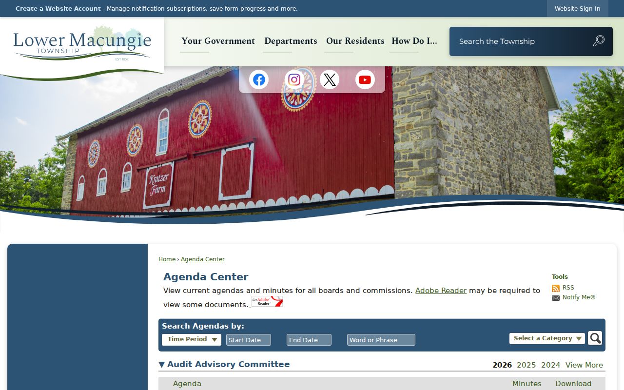
Township agendas and minutes can add civic context to a Lower Macungie Township block question. The Agenda Center searches by time period, start and end dates, text, and board category. Listed categories include the Board of Commissioners, Building Code Board of Appeals, Planning Commission, Public Safety Advisory Committee, and Zoning Hearing Board. An agenda may connect a subdivision, development parcel, road project, or variance to a date.
The Township Agenda Center provides the dates, text search, and public-board categories used for that civic research.
A meeting record is not proof that every named person currently lives at a nearby address. Use it only for the public project, application, or historical context it actually documents.
Lower Macungie Township Neighbor Records
Official parcel and recorded-document sources are more transparent than a commercial neighbor-lookup category because they identify a custodian, date, and record type. They are also narrower. A property card identifies the assessed owner and property facts. A deed identifies parties to a dated transaction. A map shows tax parcels. None alone confirms a present household or creates a complete Lower Macungie Township neighbor list.
| Official record | Useful block question | Boundary to remember |
|---|---|---|
| Parcel map | Which tax parcels are near an address? | Map proximity is not a legal boundary or social connection. |
| Property card | Who is the assessed owner of a given parcel? | Owner and occupant may differ. |
| Recorded deed | Who were the parties to a dated transfer? | It is not current-person location evidence. |
| Resource Directory | Which local organizations publish a contact? | It is not an association roster. |
Lower Macungie Township Voter Privacy
Pennsylvania’s voter status route is not a public Lower Macungie Township neighbor browser. It helps a voter check their own status. Street List, Walking List, and other voter-file products have statutory disclosure, purpose, and publication restrictions under the Election Code. A request goes through the current official process and must not be republished as an informal block record. Individual ballot choices are not public.
Address confidentiality protections and protected voter records also matter. A missing result can reflect a move, a name variation, timing, or protected status. Ask the election custodian about a person’s own record or a lawful request rather than attempting to infer an entire household from election data.
Lower Macungie Township Historic Blocks
Lower Macungie Township’s land history can change the meaning of a block search. The township dates from the 1832 division of Macungie Township, and early large subdivisions such as Ancient Oak, Shepherd Hills, and Ancient Oak West developed from the early 1960s. A property card’s subdivision field, a legal description, a planning agenda, and an older farm or road reference may describe the same geographic problem in different eras.
The Lower Macungie Township Historical Society’s Old House Registry offers a family-history route for a building’s construction year and source, former owners, chain of title, alterations, plans, photographs, and maps. It is voluntary and is not a government database or legal designation. The Township Heritage Preservation overlay and historic-resource classifications can provide an additional property-history lead, not a present-neighbor claim.
Lower Macungie Township Nearby Deeds
After identifying a nearby Lower Macungie Township parcel, use its own property card before looking at a deed. The sale-history row can include a document ID. In the Recorder of Deeds index, that reference leads to the dated parties, document type, recording date, instrument or book-and-page reference, and legal description. The search is about the recorded transaction for that parcel, not a way to infer a private household.
Lehigh County describes LANDEX coverage from 1812 to the present and a Russell index route for 1812 to 1983. The Recorder counter, county online-records access, and the Pennsylvania State Archives are documented fallback channels for older gaps. A legal description and PIN should remain the comparison points when neighboring lots have similar street numbers, when road names changed, or when a former farm parcel became a subdivision lot.
Recorded parties may be an owner, estate representative, lender, company, or another party to a document. A result does not prove that the named person is a current Lower Macungie Township neighbor. It is a time-stamped public record that should be read with the relevant property card and its date.
Lower Macungie Township Neighbor Privacy
Records leave many things private. Parcel sources do not identify every occupant or renter. Utility and delivery records are not public household directories. Pennsylvania’s Address Confidentiality Program, Safe at Home protections, and protected voter records can limit disclosure. A current mailing address may be different from the property address, and an older record may no longer be public or current.
Use Lower Macungie Township neighbor information lawfully. Parcel and civic records can support property curiosity, family history, and local civic research. Never use them to monitor, stalk, harass, intimidate, or harm another person.