
Lower Macungie ZIP Code Directory Geography
County assessment data identify ten current situs ZIP and locality combinations for Lower Macungie Township. A situs address is the physical parcel location used by the assessor. It is not a census of people or a count of delivery points. The table is therefore a useful Lower Macungie ZIP code directory of county parcel labels, not a list of everyone who receives mail in a ZIP. Each row was filtered to Township municipal code 12 in the county's public assessment and owner-data service.
| ZIP code | County situs locality label | Current assessment parcels | Record caution |
|---|---|---|---|
| 18011 | Alburtis | 703 | Includes the Quarry Park address example. |
| 18031 | Breinigsville | 118 | Confirm a delivery address with USPS. |
| 18046 | East Texas | 38 | Not a standalone community directory. |
| 18049 | Emmaus | 469 | Postal labels can cross municipal lines. |
| 18062 | Macungie | 6,199 | Also reaches outside the township. |
| 18087 | Trexlertown | 4 | Verify the exact delivery address. |
| 18103 | Allentown | 1,439 | Rodale Park illustrates a postal mismatch. |
| 18104 | Allentown | 13 | Does not establish an Allentown boundary. |
| 18106 | Allentown | 1,726 | Wescosville postal usage appears at township parks. |
| 19539 | Mertztown | 314 | Use USPS confirmation for each address. |
The totals above are assessment parcels, not households, residents, ZIP populations, or USPS delivery counts. The familiar Macungie label, 18062, carries the largest local parcel total. At the other edge, 19539 carries 314. Both figures describe county data only. A reader checking a particular family property should keep the whole address, the PIN, and the legal description with the ZIP label rather than drawing conclusions from the total.
The Lehigh County assessment and owner-data service supplies the situs locality and ZIP fields behind this comparison.
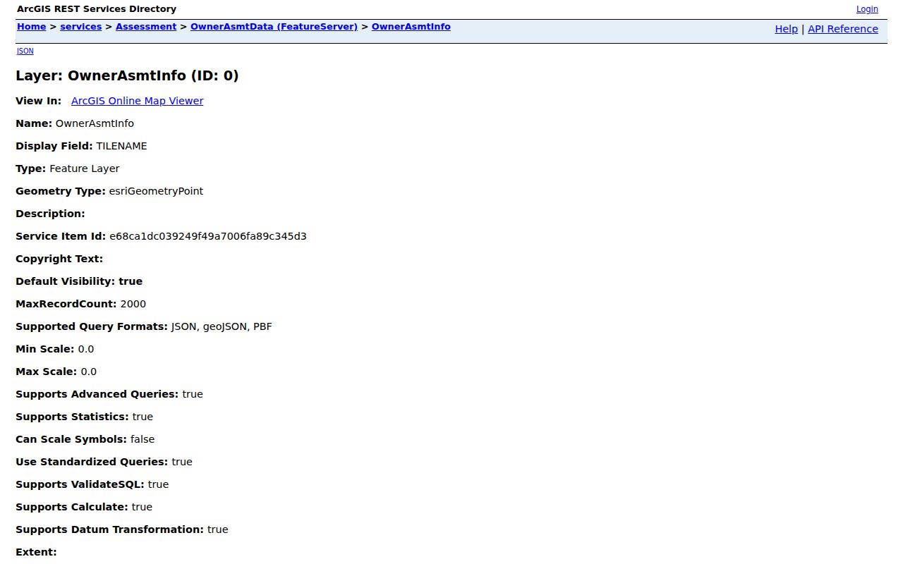
Those fields also include parcel, owner-mailing, deed, sale, land-use, and value information. They help identify the county record for an address, but they do not turn a postal label into evidence of a township border.
Note: County assessment parcels describe taxed land records, not a count of people, homes, or postal delivery addresses.
Lower Macungie ZIP Code Labels
Macungie, Alburtis, Allentown, Wescosville, and other postal-place names all appear in Lower Macungie Township address work. The township office and library use the Macungie 18062 label. Cross Timbers and Shepherd Hills use Wescosville 18106 in township parks material. Quarry Park uses Alburtis 18011, while the Rodale property carries an Allentown 18103 address. These are concrete examples of delivery labeling, not statements that every address in those ZIP codes lies in Lower Macungie.
This distinction avoids a common mistake. A Macungie ZIP code does not prove that a parcel is within township limits, and an Allentown postal city does not automatically place a property outside them. First verify the address, then inspect the municipality and situs fields on the county record. Parcel geography, postal preference, and municipal jurisdiction are separate systems that can overlap without matching.
Lower Macungie ZIP Code Records
For one address, begin with the USPS ZIP Code Lookup. It verifies the delivery ZIP for that address. Then move to the county's Property Search or the parcel map. Research found no official Lower Macungie portal that offers a ZIP-wide people search. The public Property Search accepts Address, PIN, or Document ID or Instrument Number, not a ZIP field or an owner-name search. The state voter status route is also not a ZIP filter.
| Property Search field | How the county documents it |
|---|---|
| Enter Search Text | At least four characters; special characters are not permitted. |
| Search Type | Use Address, Parcel Identification (PIN), or Document ID/Instrument Number. |
| CAPTCHA | Required before public submission. |
| PIN search | A 12-digit PIN alone, or PIN plus PAR number separated by a space. |
| Street directions | Use the county conventions such as E, N, NE, NW, S, SE, SW, or W. |
The USPS address lookup is the correct first check when a county locality label and the mailing line seem to disagree.
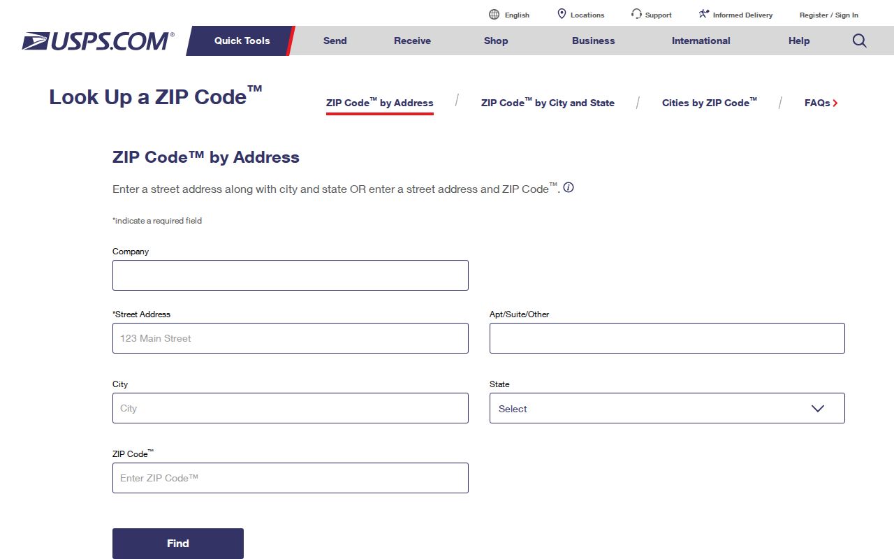
Once the delivery address is verified, the county sources can answer parcel and recorded-document questions. They should not be described as a ZIP-based resident list.
Finding Lower Macungie Records by ZIP
A ZIP can narrow an address question, but it does not replace the address itself. The reliable sequence is address verification first, county parcel research second, and recorded-document research only after the parcel is identified. This keeps a delivery label from being confused with a physical situs. It also gives a reader a concrete way to move from a piece of mail to the record custodian that holds the relevant parcel or deed information.
- Enter the complete delivery address in USPS ZIP Code Lookup and retain the returned ZIP label.
- Search the same physical address in Lehigh County Property Search, using the county street-direction and suffix conventions.
- Record the PIN, situs address, municipality, owner mailing address, and the sale-history document ID from the property card when present.
- Open the parcel in the county viewer to compare its map footprint, parcel boundaries, and situs data.
- Use the document ID and legal description for a recorded ownership question, rather than trying to infer a person from the ZIP alone.
When the question becomes a whole street rather than one verified parcel, the Lower Macungie street directory follows the address-to-parcel route in more detail. A ZIP remains a useful locator, not the evidence that decides who lives at an address.
Note: Keep the full address and PIN together because a ZIP label alone cannot uniquely identify one county parcel.
Lower Macungie ZIP Code Situs Fields
The county assessment card separates several terms that are easy to confuse. The situs address is the physical taxed parcel. The owner mailing address is where tax correspondence is sent. The legal description is the lot, subdivision, metes-and-bounds, or other recorded land identifier. The card may also show a subdivision, old parcel ID, tax authority, building facts, and a sale-history row. None of those fields promises a current household roster.
A Lehigh County parcel GIS service supplies the parcel layer used to connect the map location, PIN, and situs fields after an address search.
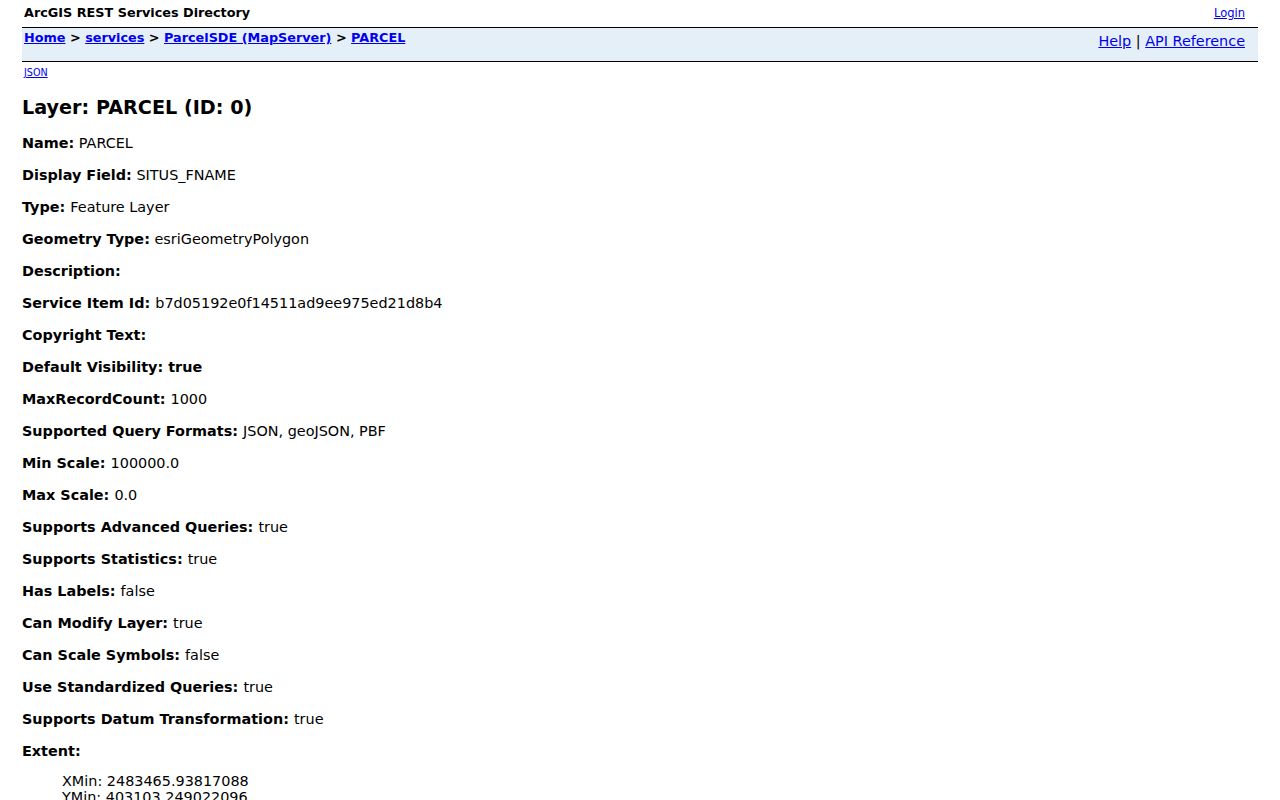
The map can show parcel shape and nearby tax parcels. It is not proof of a legal survey boundary, household makeup, or the relationship between people at neighboring addresses.
Lower Macungie ZIP Code Definitions
Postal terms and parcel terms serve different functions. Using them precisely makes old-address work less error-prone. County guidance is especially clear that an old address should be carried forward as “formerly known as” the older address when appropriate, with the current address and full range shown. Keep the 12-digit PIN and the one-to-five-digit PARNUM with any former road spelling or postal label.
- ZIP code and ZIP+4
- A ZIP code routes mail to a delivery area. ZIP+4 adds a more specific delivery segment; it is not a county Property Search filter.
- PO-box ZIP
- A postal ZIP can identify post-office-box delivery. Research did not verify a PO-box-only Lower Macungie ZIP.
- Unique ZIP
- A ZIP assigned to one institution or organization. No unique Lower Macungie ZIP was verified in the research.
- Carrier route
- A postal delivery grouping. It should not be substituted for the county PIN, PARNUM, or legal description.
- Situs address
- The physical parcel address on the assessment record, which can differ from an owner's mailing address.
Lower Macungie ZIP Code Edges
The smaller county rows deserve the same care as the large ones. East Texas 18046 has 38 current assessment parcels in the township filter, Trexlertown 18087 has four, and Allentown 18104 has 13. Those numbers do not create miniature resident directories. They simply show that county situs geography reaches postal labels that may surprise someone who expects a township to use only one place name.
For a historic address, the label may shift again because Lower Macungie grew from farms, villages, and later subdivisions. A current parcel record may connect a road, subdivision, old parcel ID, and legal description that appear under different local names in older material. Use that fuller identifier set when the mailing ZIP or postal city produces a misleading first result.
ZIP Code Limits on Resident Claims
ZIP geography can help check an address, but it cannot establish who occupies a home. The county card records assessed ownership, a mailing address, situs information, and sales references. A mailing address can belong to an agent, business, post-office box, successor address, or an owner who does not live at the parcel. The parcel map adds spatial context. Neither source is a list of every adult or household member at an address.
That limitation matters when a name, old road label, or ZIP is the only starting point. Verify the mailing address through USPS, match the physical parcel through the county record, and use the Recorder route for a documented transfer. For existing township permits or planning records tied to a specific address and date range, the documented fallback is a focused Right-to-Know request, not an assumed online ZIP search. Use records for lawful personal research and never to harass or track another person.
The Lower Macungie Agenda Center can add project context after a parcel has been identified. Its documented controls include date, word or phrase, and category searching, including Planning Commission and Zoning Hearing Board materials. It may locate a subdivision or planning case associated with an address. It does not return ZIP results or establish a household. Keep the address, PIN, and relevant planning-case date together when moving between township and county sources. That approach is safer when historic documents use a different road spelling, farm name, postal city, or subdivision name.