
Lower Macungie Previous Residents by Era
Researching previous residents is a backward address trail, not a single name search. Begin with the current parcel card and its sale reference. Then choose the next source by period. A recorded deed can establish a dated ownership connection, while a tax book, local archive, census, or church record may supply historical context. Lower Macungie Township developed from farms and crossroads into subdivisions, so a current street address may be much newer than the landholding beneath it.
| Source | Years it covers | Where held | What it can show |
|---|---|---|---|
| Current Property Search | Current public data | Lehigh County | Parcel, assessed owner, mailing and situs addresses, sale references. |
| LANDEX recorder index | 1812 to present | Lehigh Recorder and LANDEX | Recorded deed and document chain. |
| Russell historic index | 1812 to 1983 | Recorder and county ORA description | Historic party-index route. |
| State Archives deed indexes | Deeds 1813 to 1850; indexes 1813 to 1932 | Pennsylvania State Archives | Older grantor, grantee, and title research. |
| State Archives tax records | Tax books 1846 to 1890; assessments 1891 to 1945 | Pennsylvania State Archives | Taxpayer and parcel evidence. |
| Federal census | Through 1950 publicly released | National Archives and library databases | Household names, ages, and relationship context. |
| Library and historical society | Depends on the item | Local and regional collections | Church, cemetery, yearbook, newspaper, photo, and local-history leads. |
Start with the current card for a recent transfer. Use the Recorder path for the ownership chain. For an older gap, move to the historic index and State Archives materials rather than assuming every record image is available online. Local collections add names, dates, and place context, but a family-history lead should be checked against a dated property or archival record before it is treated as a match. The goal is a dated account of past residents, not a claim that every historical name occupied the address.
Note: A dated deed documents a recorded transfer, while historical sources may add context without proving everyday residence.
Lower Macungie Recorder Records
Lehigh County’s Recorder route reaches back to 1812. The county describes LANDEX coverage from 1812 to the present and the Russell Index Books from 1812 to 1983. Book-form records run through April 19, 2002, and computer images begin April 22, 2002. Earlier work may therefore require a party index and deed-book path, with current image availability checked in the live session. County security microfilm and computer-image coverage are described as 1812 to the present.
Recorder of Deeds Division
Lehigh County Clerk of Judicial Records, Recorder of Deeds Division
Room 122, Lehigh County Courthouse
455 W. Hamilton Street, Allentown, PA 18101-1614
610-782-3162
Weekdays, 8:00 a.m. to 4:30 p.m.
The Recorder counter is a documented fallback for older index work, a public-review question, or a copy question that the online route does not resolve. Staff do not conduct searches or provide legal advice. Recorder materials distinguish retrieval from recording, so an index result does not replace a certified copy or an in-person review where one is needed.
The Recorder’s Record Alert sign-up route is a county notification option for a monitored property record.
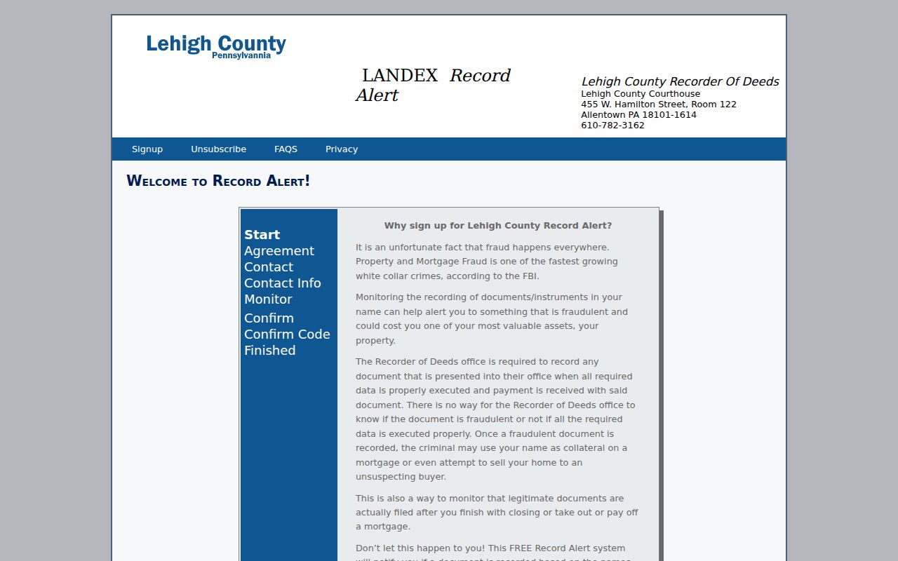
Record Alert can send a text or email about a monitored recorded document and identifies the parcel, instrument number, document type, and recording date. It is a notice system, not proof that ownership changed.
Tracing Lower Macungie Deed Chains
The deed chain connects owners through documented transfers. Use Lehigh County Property Search to locate the current physical parcel by Address, PIN, or Document ID. Its public card separates the owner mailing address from the property situs and can show sale-history information. Take the current sale-history document ID to the Recorder index. The goal is to keep the legal land identity constant while the party names change.
- Record the current parcel’s PIN, situs address, legal description, and sale-history document ID when shown.
- Open the recorded transfer and note its grantor, grantee, recording date, instrument or book-page reference, document type, legal description, and parcel reference.
- Search the current seller, the grantor, as a grantee to locate that person’s earlier acquisition.
- Compare the PIN and legal description before accepting the earlier document, because a name can recur on unrelated parcels.
- Repeat backward, then use the Recorder counter, historic party index, or State Archives for the older interval.
- Grantor and grantee
- The grantor conveys the property in a recorded transfer. The grantee receives it.
- Chain of title
- The linked series of recorded transfers for the same parcel or legal land description.
- Legal description
- The recorded lot, subdivision, or metes-and-bounds identifier. It is more stable than an old street address.
- PIN and PARNUM
- The 12-digit parcel identifier and one-to-five-digit PAR number used to keep county parcel references aligned.
Lower Macungie Previous Residents Road Names
A no-result address search can be a road-name problem. The township streets appendix documents that Center Jackson Road became Millbend Road on February 9, 1961. It also records 2016 changes involving Mill Creek Road, Mill Creek Spur, Antique Lane, and Mill Creek Road; a 2017 change from part of Schoeneck Road to Dragonfly Lane; Service Road One to Charcoal Drive in 2023; and Service Road Two to Hamilton Circle in 2025.
Search both the current and earlier road name. Carry the PIN, PARNUM, legal description, adjacent-road names, subdivision, and old parcel ID across the search. This matters because many early roads were not named until well into the twentieth century, and Lower Macungie history includes farm parcels that later became subdivision lots. A present street number may not be a useful search key for an old tax or deed record.
The township split from the older Macungie Township in 1832. Pre-split materials can therefore carry the parent township name. Place names such as Wescosville, East Texas, East Macungie, Weilersville, Hensingersville, Alburtis or Lock Ridge, and Macungie may also appear in historic local fields. Modern Macungie may be called Millerstown in an older source.
Tax Records for Lower Macungie Addresses
When a modern street address has not yet been found, tax and assessment material gives the next documented layer. The Pennsylvania State Archives Lehigh County inventory lists tax books for 1846 to 1890 and assessment records for 1891 to 1945. Those series can tie a taxpayer to parcel evidence in a period where an online property card or current road name is not useful.
They do not convert a taxpayer entry into a complete household list. Compare a tax or assessment finding with the deed chain, a census record, a will or probate docket, and a local church, cemetery, newspaper, or yearbook clue. The State Archives also documents deed, grantor, grantee, marriage-docket, will, Orphans’ Court, election, naturalization, and case-paper holdings. Each is a separate research path with its own coverage and access limits.
Lower Macungie Old House Records
The Lower Macungie Township Historical Society offers an especially practical house-history tool: its voluntary Old House Registry. The form asks for the building address, construction year and its source, architecture and materials, former owners, builder, original purpose, chain of title, alterations, outbuildings, a property or road sketch, plans, and photographs. It is not a government database or legal designation. It is a structured way to preserve evidence gathered from official records and family materials.
The Lower Macungie Township Historical Society genealogy-help page provides an appointment contact for this local research route.
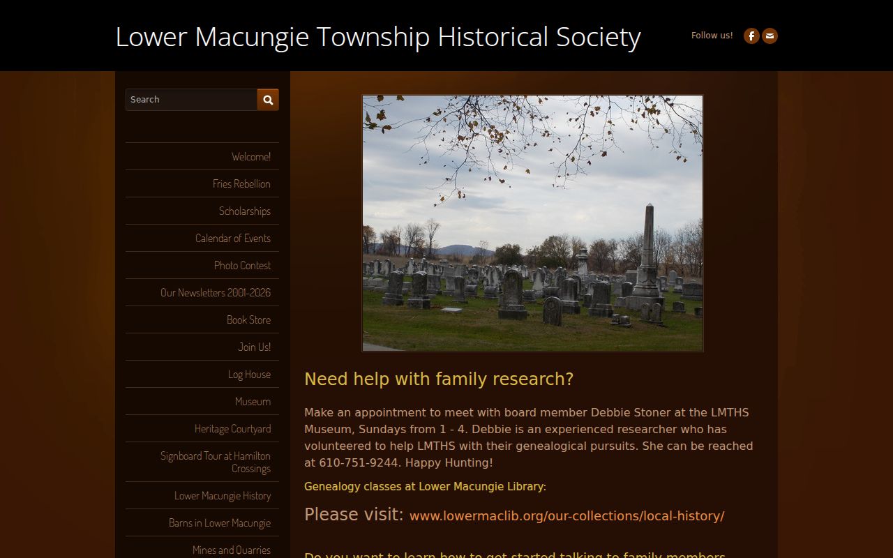
The historical society can help organize a former-owner or road-history question. A claim about title still needs support from the Recorder chain, tax records, or another dated custodian record.
The Township Heritage Preservation overlay adds another property-history channel. Its Historic Resources Map uses Class I, Class II, and Class III classifications. For a listed resource, a demolition application requires the owner of record, classification, site plan, and photographs. That record trail concerns the history and treatment of a structure, not present occupancy.
Past Households in Lower Macungie
Ownership is only one part of who lived here before. The local household layer begins at the Lower Macungie Library Local History and Genealogy Center, which holds local reference books, photograph and document files, church and cemetery genealogical material, school yearbooks, and in-library genealogy databases. Its public information does not confirm a townshipwide reverse or criss-cross directory run. Treat a directory question as a staff or counter lead, not a guaranteed online address search.
Nearby regional material can help. The Allentown Public Library Microfilm collection lists Allentown city directories for 1860 to 1980, Morning Call material from 1895 onward, an obituary index for 1895 to 1983, and census microfilm for 1800 to 1930. The Lehigh County Historical Society describes Allentown city directories from 1860 to current alongside maps, deeds, tax records, wills, census resources, and newspapers. An Allentown entry may be a useful lead, but it is not a complete Lower Macungie directory.
- Place the address in the deed and tax timeline first, including its road-name variants.
- Ask the local library or historical society for a relevant directory, yearbook, church, cemetery, newspaper, photograph, or clipping source.
- Pair a dated local finding with the closest released federal census, using the census for household and relationship context.
- Test every name against the parcel, legal description, date, and locality before adding it to the address history.
For a fuller description of the historical collections themselves, the Lower Macungie city directory page keeps the focus on the shelves and research centers rather than the backward parcel trail.
Note: The latest publicly released federal census is 1950, so later household questions need another dated source.
Limits on Previous Resident Research
Property and historical sources have different limits. A property card can identify the assessed owner, mailing address, physical situs, parcel facts, and a sale reference, but it cannot establish every person living in a home. A deed records a transfer, not daily residence. A library clipping, obituary, church record, or census entry may give a household clue, but it must be read in its date and location context. No verified public Lower Macungie online permit-by-address database or townshipwide city-directory run fills those gaps.
Lawful house-history use. Use previous-resident research for family history, estate questions, and property history. Do not use historical or current records to harass or track a living person.
For existing township permits, certificates, inspections, or planning documents connected to a known address and period, the documented alternative is a focused Pennsylvania Right-to-Know request to the record custodian. Ask for existing records by subject, address, timeframe, and document type. A request is not a substitute for a source that does not exist, and a permit may name an owner or applicant without proving who lived at the property.